in Sketchbook
©2017 Lucinda Howe
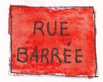
When I arrived in Canada, I took a taxi from the airport. The cab driver said nothing for most of the trip and drove quickly and carefully on the freeways. Arriving in old Montréal, he circled the block where my hotel was located, working his way through a maze of one-way streets, construction barricades, and double-parked delivery trucks to get close enough to the hotel to let me out. He sighed in frustration and said, “Everywhere you go in Montréal, the street is blocked.”
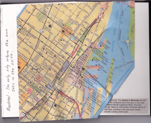
 After checking in and dropping off my luggage, I wanted to take a walk to orient myself. My iPhone compass said the front door of the hotel faced west. Behind me was the river on the east side. Armed with my AAA map, I stepped out of the door, turned right to walk north on Rue St. Paul Ouest parallel to the river. Crossing Boulevard St. Laurent, I was on Rue St. Paul Est. (what?) After meeting my travel group, I realized they had picked up maps at the hotel that had the river on the bottom (south?) side. The next day our walking tour guide, Martine, said Boulevard St. Laurent was the main thoroughfare dividing the east and west sides of town. I was thoroughly confused until I read this explanation in my AAA guide book.
“The streets in Montréal are laid out in the traditional east-west grid, in this case parallel to the St. Lawrence River. The river, though, takes an unfortunate northwest swing at Montréal, resulting in the east-west streets actually running north-south.”
This is why Montréal is also called “the only city where the sun sets in the north”.
By the time I figured out the directions, we were boarding the train for Quebec City. Jane LaFazio’s lesson for the day was how to cut a map into a square, fold it, and insert it into our sketchbooks. I chose to insert my map with a traditional north-up orientation, even though it was missing a corner.
If you want to see how the map folding works, here is a video on Turkish map folding that shows how to do it. Once the map is folded, check the orientation and glue it to the sketchbook with the point in the gutter. Apply glue to the other side and close the book until the glue sets.
Next week, Quebec City.